Most people notice city heat as a feeling: one block is tolerable, the next feels like an oven. Researchers call this pattern an urban heat island, and they measure it with far more detail than many residents expect.
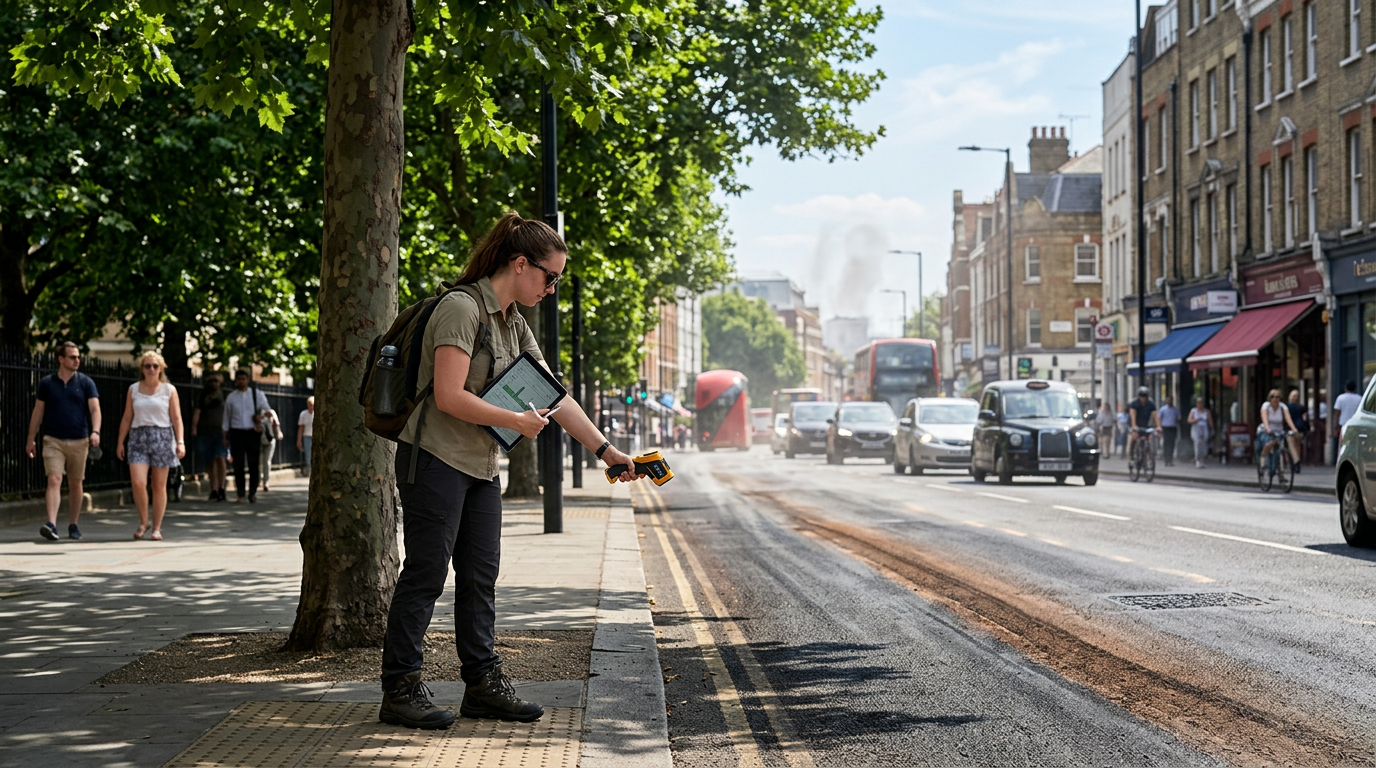
A single weather station does not capture those differences. Teams now combine fixed sensors, handheld thermometers, and satellite images to map temperatures at the scale of individual streets, parks, and parking lots.
Satellite data is useful because it shows surface temperature, which reveals where asphalt and dark roofs store heat. Ground sensors are still essential because they track air temperature where people actually breathe and walk.
Time of day matters as much as location. Morning maps often look mild, while evening maps show which materials release heat slowly and keep neighborhoods warm long after sunset.
Researchers also compare humidity and wind speed. A shaded area can still feel uncomfortable if air is trapped, while a breezy street with less shade may feel cooler than expected.
One practical insight is that tree cover works best when it forms connected corridors instead of isolated pockets. Continuous shade along walking routes can reduce heat exposure more effectively than scattered planting projects.
Another finding is that reflective roofs help building interiors, but they do not solve every street-level problem. City planners usually need a mix of shade, permeable surfaces, and better ventilation between buildings.
Health teams use these maps to plan cooling services. They can place water refill points, adjust bus shelter priorities, and target outreach in areas where nighttime temperatures stay high during heat waves.
Residents can use public heat maps as planning tools. Choosing a shaded route for daily errands or moving exercise to cooler hours can lower heat stress without expensive equipment.
If your city publishes local climate data, check how recently it was updated and whether it includes evening readings. The most useful maps are the ones that reflect real conditions on ordinary weekdays, not only extreme event days.
Urban heat research is valuable because it turns a vague complaint into actionable information. Once heat is measured block by block, communities can prioritize improvements that make summer safer and more comfortable for everyone.